From the top of the turn
A country that only makes sense from above.
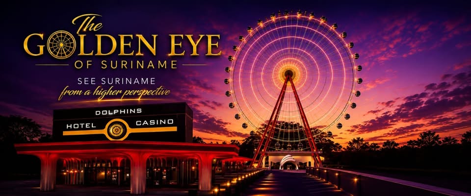
Suriname is flat, wooded and low. There has never been a public vantage point high enough to see how the capital, the river and the old plantation coast fit together. At eighty metres, on a clear evening, they all sit in one frame.
WNW
Jules Wijdenbosch Bridge
≈ 1 km
The 1,504-metre span you crossed to get here, lit end to end.
W
Paramaribo and the Waterkant
≈ 2 km
The UNESCO-listed inner city: white timber facades along the water.
WSW
Fort Zeelandia
≈ 2.5 km
The 17th-century fort on its point, where the river bends.
NE
Fort Nieuw Amsterdam
≈ 8 km
Where the Commewijne meets the Suriname River.
E
The Commewijne plantations
≈ 10 km
Old coffee and cacao estates, and the polder canals still ruling the land.
N
The river mouth and the Atlantic
≈ 30 km
On the clearest evenings, the horizon where the brown water goes green.
Bearings and distances are approximate lines of sight from Nieuw Meerzorg; what is actually visible depends on weather and haze.
 The Golden Eye of Suriname